
ARTIFICIAL INTELLIGENCE FOR Ocean mapping
Real-time alerts and expert guidance
during multibeam acquisition
Designed by ocean mappers to support the operator on watch, on crewed ships and uncrewed platforms.
In development, with our first at-sea integration complete. We are working with survey teams to shape what comes next.
The challenge
Expert judgment, stretched thin
An experienced operator can effectively supervise one survey at a time. As more platforms come online, extending that operator's reach becomes the key to collecting more high-quality data.
-
Many data streams to watch at once
-
Some issues are difficult to detect in real time
-
Acquisition practice varies between operators
-
Platforms outgrowing experienced operators
What we are building
MARIE, a watchstanding assistant for multibeam acquisition
MARIE (Mapping Artificial and Remote Intelligence Engine) reads multibeam data as it is collected and flags what needs attention. Operators can ask it questions about the live data, from troubleshooting a sonar setting to understanding why an alert fired.
Live sonar data in
1 · Machine perception
Purpose-built models read raw sonar data as it comes in and flag issues and features of interest.
2 · Codified ocean mapping expertise
Mission- and sonar-specific rule-based alerts, built and reviewed with our validation network of eight working ocean mappers.
3 · Operator support
Delivers alerts and guidance to the operator on watch and answers questions on demand, with as much or as little detail as the operator wants.
Alerts and guidance to the operator on watch
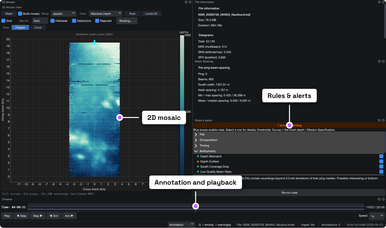
MARIE on live EM 304 data aboard E/V Nautilus, NA180, 2026.
From crewed ships to autonomous platforms
-
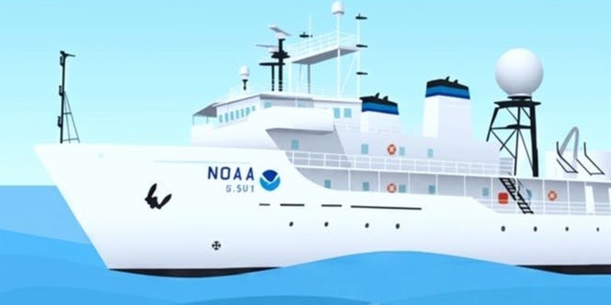
Mentorship at the console
Every alert explains what it sees and the context behind it, so operators at any experience level can act on it and learn from it.
-
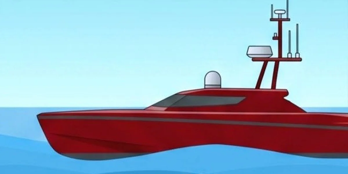
One expert, several platforms
Intelligent triage across a fleet lets one expert ashore oversee several vehicles without giving up data quality.
-

Informing autonomous decisions
MARIE's data quality assessment can feed directly into how autonomous platforms plan and adjust their surveys.
Team
Built by operators, for operators
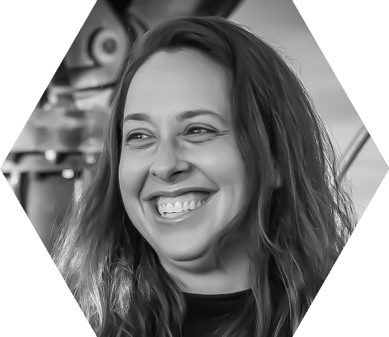
Shannon Hoy
Co-founder and Chief Executive Officer
17 years in ocean mapping across academic, philanthropic and government sectors, with 32 expeditions and more than 600 days at sea, including seven years leading mapping at NOAA Ocean Exploration. Co-founder of the Ocean Mapping Community Wiki. M.S. in Ocean Mapping, University of New Hampshire.
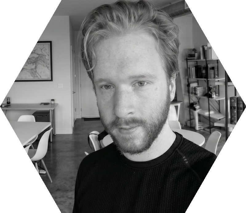
Patrick Cooper
Co-founder and Chief Technology Officer
Builds and deploys AI and machine learning products for decision support in technical operations, with experience at NOAA, Meta and Sandia National Laboratories. PhD candidate in Computer Science at the University of Colorado Boulder.
Partners
Who we work with
Industrial partners
-
UNH CCOM
Center for Coastal and Ocean Mapping
University of New Hampshire -
USF COMIT
Center for Ocean Mapping and Innovative Technologies
USF College of Marine Science
Programs
-
Creative Destruction Lab
Accelerator
Oceans stream, 2026/27 -
Seaworthy Collective
Incubator
Cohort 7 -
NVIDIA Inception
Startup program
AI and accelerated computing
Latest
-
BathyLab joins Creative Destruction Lab's Oceans Stream
ACCELERATOR · 2026/27 COHORT
Selected for the 2026/27 Oceans stream, starting in Halifax in October.
-
MARIE at Sea, presented at FEMME 2026 in Genoa
CONFERENCE · 2026
Our poster on machine perception assistance for multibeam acquisition.
-
First at-sea integration aboard E/V Nautilus
INTEGRATION TRIAL · JULY TO AUGUST 2026
Three weeks on live EM 304 data during expedition NA180, with thanks to OET and UNH CCOM.
-
BathyLab joins Seaworthy Collective Cohort 7
ACCELERATOR · 2026
A NOAA-backed ocean enterprise incubator for U.S. startups building ocean data technologies, part of The Continuum network.
Contact
Help shape MARIE
MARIE is in development. We want to hear from ocean mappers, survey managers and platform operators about how you run watch today and where data problems show up. Some features are ready to test on your data, and others are still taking shape with input from teams like yours.